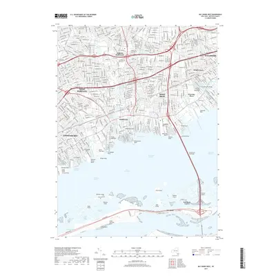
2019 Map of Bay Shore West
USGS Topo · Published 2019About this map
Babylon and its neighboring South Shore communities are depicted here along the edges of the Great South Bay. This dense suburban landscape is defined by its relationship to the water, with numerous necks and points such as Sampawams Neck and Santapogue Neck extending into the bay. The intricate network of residential streets in Lindenhurst and West Islip is interrupted by green spaces like Belmont Lake State Park and historic grounds including Breslau Cem and Saint Johns Catholic Cem.
Find a feature on this map
82 named features on this map. Tap any name to fly to it.
Don’t see what you’re looking for? This feature index may not catch every label — zoom into the map to look around manually.
Map Details
Editions of this 2019 Bay Shore West Map
This is the sole edition of this map. No revisions or reprints were ever made.
Other maps of this area

1901 · Babylon
USGS Topo · 1:62,500

1901 · Northport
USGS Topo · 1:62,500

1902 · Setauket
USGS Topo · 1:62,500

1902 · Fire Island
USGS Topo · 1:62,500

1903 · Babylon
USGS Topo · 1:62,500

1903 · Northport
USGS Topo · 1:62,500

1903 · Fire Island
USGS Topo · 1:62,500

1904 · Setauket
USGS Topo · 1:62,500

1904 · Islip
USGS Topo · 1:125,000

1919 · Setauket
USGS Topo · 1:62,500