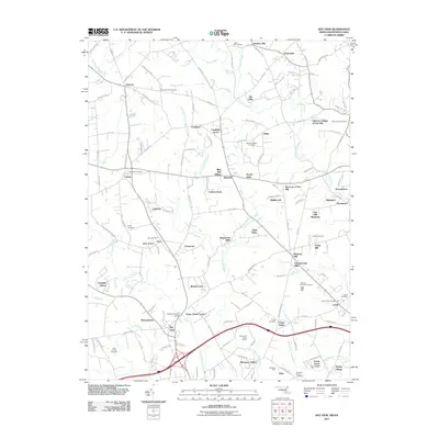
2011 Map of Bay View
USGS Topo · Published 2011About this map
North East Creek and Little Elk Creek carve through the landscape along the Maryland-Pennsylvania border, defining a region where agricultural heritage meets modern development. Small historic crossroads like Chrome, Lombard, and Blake persist alongside newer residential enclaves such as Blue Ball Village and Chantilly Manor. The topography is marked by significant local landmarks, including the prominent Egg Hill and the industrial footprint of the Mechanics Valley Quarry.
Find a feature on this map
149 named features on this map. Tap any name to fly to it.
Don’t see what you’re looking for? This feature index may not catch every label — zoom into the map to look around manually.
Map Details
Editions of this 2011 Bay View Map
This is the sole edition of this map. No revisions or reprints were ever made.
Other maps of this area

1898 · Elkton
USGS Topo · 1:62,500

1900 · Elkton
USGS Topo · 1:62,500

1900 · Havre De Grace
USGS Topo · 1:62,500

1904 · Coatesville
USGS Topo · 1:62,500

1906 · Coatesville
USGS Topo · 1:62,500

1912 · Quarryville
USGS Topo · 1:62,500

1917 · Elkton
USGS Topo · 1:62,500

1918 · Coatesville
USGS Topo · 1:62,500

1942 · Havre De Grace
USGS Topo · 1:62,500

1942 · Elkton
USGS Topo · 1:62,500