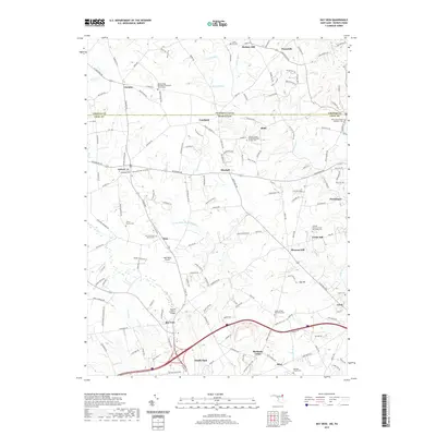
2019 Map of Bay View
USGS Topo · Published 2019About this map
The Pennsylvania and Maryland state line bisects this landscape, separating Chester County from Cecil County. This transition from the southern Pennsylvania piedmont into the northern reaches of Maryland is defined by a dense network of country roads and scattered rural settlements such as Chrome, Blueball, and Bay View. Water from Jordan Run and Barren Brook feeds into the larger Little Elk Creek system, which carves through the undulating terrain.
Find a feature on this map
171 named features on this map. Tap any name to fly to it.
Don’t see what you’re looking for? This feature index may not catch every label — zoom into the map to look around manually.
Map Details
Editions of this 2019 Bay View Map
This is the sole edition of this map. No revisions or reprints were ever made.
Other maps of this area

1898 · Elkton
USGS Topo · 1:62,500

1900 · Elkton
USGS Topo · 1:62,500

1900 · Havre De Grace
USGS Topo · 1:62,500

1904 · Coatesville
USGS Topo · 1:62,500

1906 · Coatesville
USGS Topo · 1:62,500

1912 · Quarryville
USGS Topo · 1:62,500

1917 · Elkton
USGS Topo · 1:62,500

1918 · Coatesville
USGS Topo · 1:62,500

1942 · Havre De Grace
USGS Topo · 1:62,500

1942 · Elkton
USGS Topo · 1:62,500