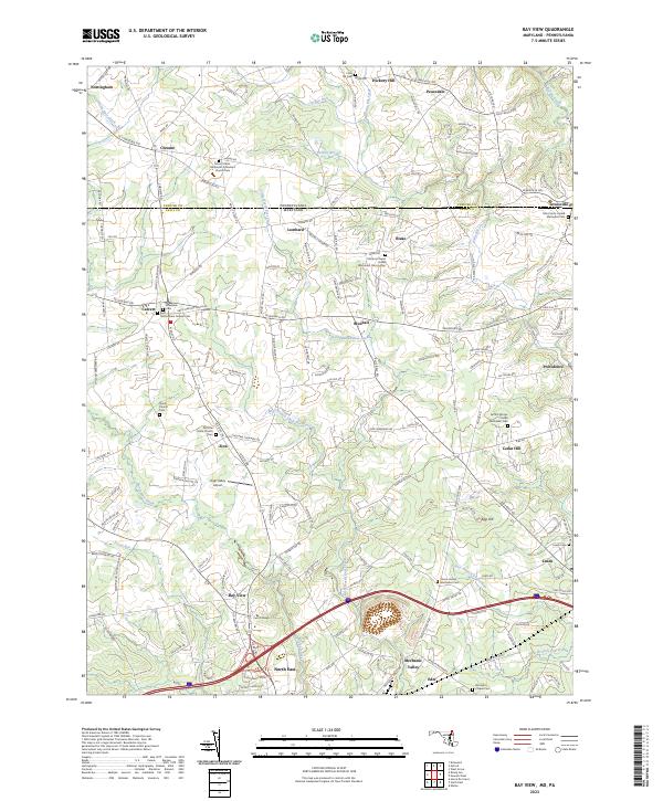
2023 Map of Bay View
USGS Topo · Published 2023About this map
The Pennsylvania Maryland state line divides this landscape, where the northern reaches of Cecil County meet the southern edge of Chester County. Small historic settlements such as Bay View and Blueball anchor a rural road network that follows the drainage patterns of North East Creek and Little Elk Creek. The area is notably dense with community heritage sites, including the Nottingham Friends Cem and the Griffith African United Methodist Cem, reflecting a long-established social fabric. High ground at Egg Hill overlooks the valleys where the West Branch Laurel Run and Jordan Run begin their descent toward the Chesapeake. Aviation and education are represented by the High Valley Airport and the campus of Cecil College, while the transition from Pennsylvania to Maryland is marked by a shift in township patterns across the survey boundary.
Find a feature on this map
171 named features on this map. Tap any name to fly to it.
Don’t see what you’re looking for? This feature index may not catch every label — zoom into the map to look around manually.
Map Details
Editions of this 2023 Bay View Map
This is the sole edition of this map. No revisions or reprints were ever made.
Other maps of this area

1898 · Elkton
USGS Topo · 1:62,500

1900 · Elkton
USGS Topo · 1:62,500

1900 · Havre De Grace
USGS Topo · 1:62,500

1904 · Coatesville
USGS Topo · 1:62,500

1906 · Coatesville
USGS Topo · 1:62,500

1912 · Quarryville
USGS Topo · 1:62,500

1917 · Elkton
USGS Topo · 1:62,500

1918 · Coatesville
USGS Topo · 1:62,500

1942 · Havre De Grace
USGS Topo · 1:62,500

1942 · Elkton
USGS Topo · 1:62,500