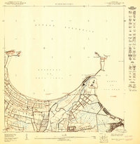
1950 Map of Bayamon NE
USGS Topo · Published 1950About this map
The coastal interface of the Bahía de San Juan and the Océano Atlántico defines this mid-century survey. The landscape is dominated by the marshy expanse of the Ciénaga de los Cucharillas and the winding course of the Río de Bayamón as it approaches the sea. Settlement patterns are concentrated in the bustling harbor town of Cataño and the smaller coastal community of Palo Seco, with the rural barrios of Sabana Seca and Palmas extending inland.
Find a feature on this map
33 named features on this map. Tap any name to fly to it.
Don’t see what you’re looking for? This feature index may not catch every label — zoom into the map to look around manually.
Map Details
Editions of this 1950 Bayamon NE Map
This is the sole edition of this map. No revisions or reprints were ever made.
Other maps of this area

1941 · Bayamon
USGS Topo · 1:30,000

1941 · San Juan
USGS Topo · 1:30,000

1947 · Bayamon
USGS Topo · 1:30,000
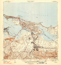
1947 · San Juan
USGS Topo · 1:30,000
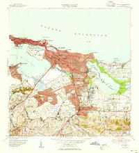
1949 · San Juan
USGS Topo · 1:30,000
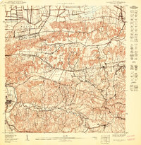
1950 · Bayamon SO
USGS Topo · 1:10,000
1950 · San Juan SO
USGS Topo · 1:10,000
1950 · Bayamon NO
USGS Topo · 1:10,000
1950 · Bayamon SE
USGS Topo · 1:10,000
1957 · Bayamon
USGS Topo · 1:20,000