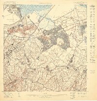
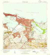
1950 Map of San Juan SO
USGS Topo · Published 1950About this map
The metropolitan expansion of San Juan is captured here during a pivotal post-war era, showcasing the rapid development of planned residential communities like Barriada Eleanor Roosevelt and Puerto Nuevo. The landscape is a mix of urbanization and institutional infrastructure, featuring the sprawling Sanatorio Insular and the Penitenciaria Insular alongside the waters of the Bahía de Puerto Nuevo.
Find a feature on this map
41 named features on this map. Tap any name to fly to it.
Don’t see what you’re looking for? This feature index may not catch every label — zoom into the map to look around manually.
Map Details
Editions of this 1950 San Juan SO Map
This is the sole edition of this map. No revisions or reprints were ever made.
Other maps of this area

1941 · Bayamon
USGS Topo · 1:30,000

1941 · San Juan
USGS Topo · 1:30,000

1946 · Aguas Buenas
USGS Topo · 1:30,000

1946 · Naranjito
USGS Topo · 1:30,000

1947 · Aguas Buenas NO
USGS Topo · 1:10,000

1947 · Bayamon
USGS Topo · 1:30,000
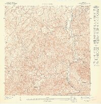
1947 · Naranjito NE
USGS Topo · 1:10,000
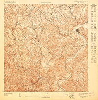
1947 · Aguas Buenas NE
USGS Topo · 1:10,000
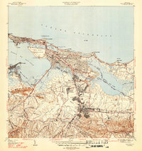
1947 · San Juan
USGS Topo · 1:30,000
1949 · San Juan
USGS Topo · 1:30,000