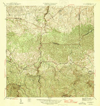
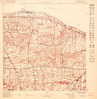
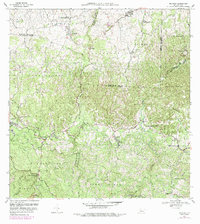
1946 Map of Bayaney
USGS Topo · Published 1946About this map
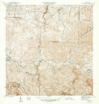
The interior highlands of northern Puerto Rico are intricately detailed in this 1943 survey, showing a landscape defined by sharp elevation changes and the deeply carved valleys of the Rio Camuy, Rio Tanama, and Rio Grande de Arecibo. Published under Commissioner Orlando R. Méndez, the map illustrates the mid-century social infrastructure of the region, anchored by rural settlements like Bayaney and Angeles. The distribution of local schools, including Escuela Theodore Roosevelt and Escuela Segunda Unidad de Caguana, highlights the educational network serving these mountain communities. High peaks such as Cerro Palmar and Cerro de la Torre overlook a complex system of local roads that follow the winding ridgelines, marking the boundaries between the municipalities of Hatillo, Lares, Utuado, and Camuy.
Find a feature on this map
18 named features on this map. Tap any name to fly to it.
Don’t see what you’re looking for? This feature index may not catch every label — zoom into the map to look around manually.
Map Details
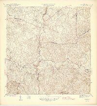
Editions of this 1946 Bayaney Map
4 editions found
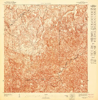
Historical Maps of Sector El Calvario Through Time
10 maps found

1946 Bayaney
Hatillo Municipio, PR
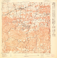
1947 Bayaney NE
Hatillo Municipio, PR
1950 Camuy NE
Hatillo Municipio, PR
1950 Camuy SE
Hatillo Municipio, PR
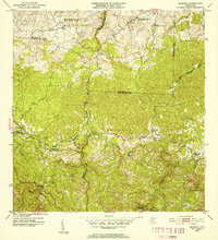
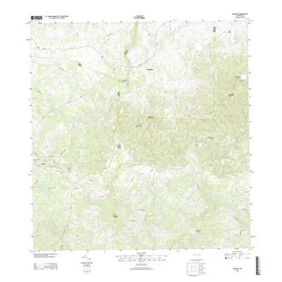
1952 Bayaney
Hatillo Municipio, PR
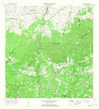
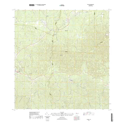
1957 Bayaney
Hatillo Municipio, PR
1970 Bayaney
Hatillo Municipio, PR
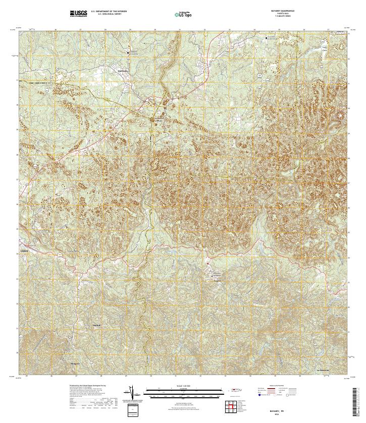
2013 Bayaney
Hatillo Municipio, PR
2018 Bayaney
Hatillo Municipio, PR
2024 Bayaney
Hatillo Municipio, PR
Featured Locations
- Sector Las Cuarenta, Hatillo
- Sector Los Santiagos, Lares
- Parcelas Miria, Lares
- Sector El Calvario, Utuado
- Sector Los Cuevas, Utuado