
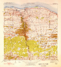
1942 Map of Camuy
USGS Topo · Published 1942About this map
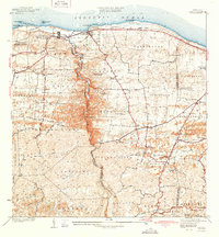
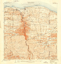
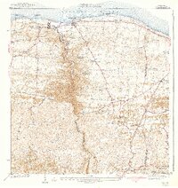
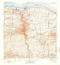
The American RR of Porto Rico hugs the northern coastline, connecting the seaside settlements of Camuy and Hatillo during the late 1930s. This coastal plain quickly transitions into a complex interior landscape defined by the deep, winding canyon of the Rio Camuy. The map reveals a highly localized transportation network where traditional routes like the Camino de Santa Isabel and Camino de Ojo de Agua traverse the hills, linking numerous rural neighborhoods and family estates. The social fabric of the era is marked by several denominational landmarks, including the Iglesia de Dios Pentecostal and the Iglesia Episcopal. Further inland, the presence of specialized rail sidings or stops such as Estacion Luchi and various "Desvio" points—including Desvio Green and Desvio El Saco—points toward a rural economy deeply integrated with the sugar or agricultural transport of the period.
Find a feature on this map
48 named features on this map. Tap any name to fly to it.
Don’t see what you’re looking for? This feature index may not catch every label — zoom into the map to look around manually.
Map Details
Editions of this 1942 Camuy Map
6 editions found
Other maps of this area

1938 · Camuy
USGS Topo · 1:20,000

1938 · San Sebastian
USGS Topo · 1:20,000

1938 · Quebradillas
USGS Topo · 1:20,000

1941 · San Sebastian
USGS Topo · 1:30,000

1942 · Arecibo
USGS Topo · 1:30,000

1946 · Utuado
USGS Topo · 1:30,000

1946 · Bayaney
USGS Topo · 1:30,000

1946 · Arecibo
USGS Topo · 1:30,000
1947 · Arecibo SO
USGS Topo · 1:10,000
1947 · Utuado NO
USGS Topo · 1:10,000