Loading...
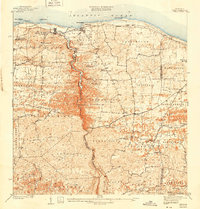
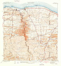
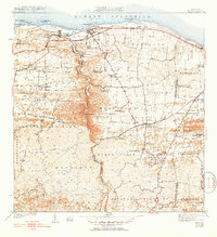
Loading map...1942 Map of Camuy
USGS Topo · Published 1942About this map
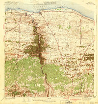
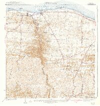
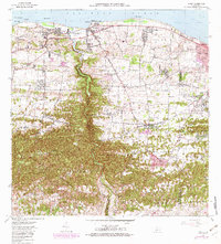
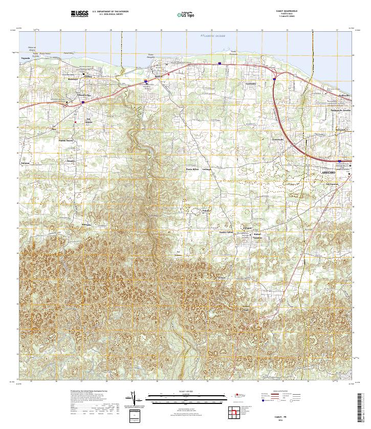
The Rio Camuy carves a deep limestone canyon through the center of this terrain, separating the municipal boundaries of Camuy and Hatillo. Along the northern coast, the American R R Of Porto Rico serves the coastal settlements of Membrillo, Hatillo, and Camuy, where the shoreline is defined by limestone formations like Peñon Brusi and Pta Maracayo. This 1942 survey captures the interior transition from the flat coastal Carrizales plains into the mogote-style karst hills of Abra Honda and Naranjito.
Find a feature on this map
75 named features on this map. Tap any name to fly to it.
Don’t see what you’re looking for? This feature index may not catch every label — zoom into the map to look around manually.
Map Details
Date Portrayed1942
Date Published1942
PublisherU.S. Geological Survey
Map TypeTopographic
Scale1:30,000
Physical Dimensions19.9 x 20.8 inches
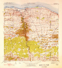
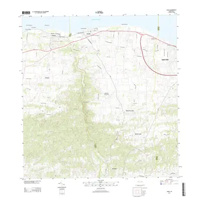
Editions of this 1942 Camuy Map
6 editions found
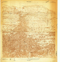
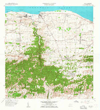
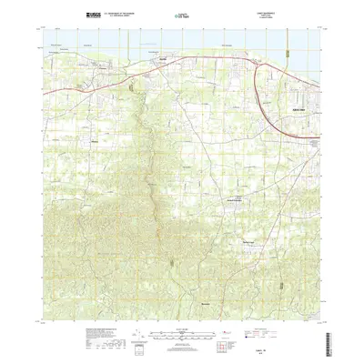
Historical Maps of Hatillo Through Time
7 maps found
Featured Locations
- Camuy, Camuy
- Hacienda de Camuy, Camuy
- Estancias de Vista Verde, Hatillo
- Hatillo, Hatillo
- Las Cunetas, Arecibo
Source Details
SourceU.S. Geological Survey
CopyrightPublic Domain