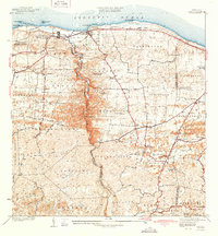
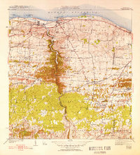
1942 Map of Camuy
USGS Topo · Published 1942About this map
The coastal towns of Camuy and Hatillo anchor this pre-war survey of Puerto Rico's northern shore. The American RR of Porto Rico traces the coastline, connecting these agricultural and maritime hubs while service spurs like Desvio Green and Desvio Hoya Caña reach into the inland sugarcane or tobacco country. The interior landscape is defined by the deep incision of the Rio Camuy, which cuts through the karst terrain toward the Atlantic Ocean.
Find a feature on this map
74 named features on this map. Tap any name to fly to it.
Don’t see what you’re looking for? This feature index may not catch every label — zoom into the map to look around manually.
Map Details
Editions of this 1942 Camuy Map
6 editions found
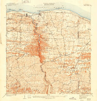
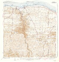
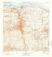
Other maps of this area

1938 · Camuy
USGS Topo · 1:20,000

1938 · San Sebastian
USGS Topo · 1:20,000

1938 · Quebradillas
USGS Topo · 1:20,000

1941 · San Sebastian
USGS Topo · 1:30,000

1942 · Arecibo
USGS Topo · 1:30,000

1942 · Camuy
USGS Topo · 1:30,000

1946 · Utuado
USGS Topo · 1:30,000

1946 · Bayaney
USGS Topo · 1:30,000

1946 · Arecibo
USGS Topo · 1:30,000
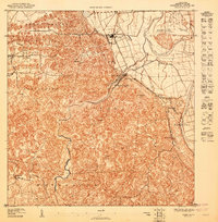
1947 · Arecibo SO
USGS Topo · 1:10,000