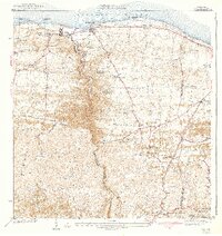
1942 Map of Camuy
USGS Topo · Published 1942About this map
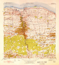
Rio Camuy carves a deep, winding canyon through the limestone karst landscape of northern Puerto Rico, serving as a prominent geographical divider south of the Atlantic Ocean. This 1942 edition, based on surveys from the late 1930s, illustrates the coastal settlements of Camuy and Hatillo linked by the American RR of Porto Rico. The region's agricultural and transit roots are evidenced by a dense network of naming trails such as Camino de los Carbones and Camino de la Arena, alongside numerous railroad sidings like Desvio Green and Desvio Campo Alegre. Inland, the map reveals a community structured around rural intersections and faith, including Iglesia Episcopal and Iglesia de Dios Pentecostal, while landmarks like Peñon Brusi and Pta Maracayo define the shoreline.
Find a feature on this map
59 named features on this map. Tap any name to fly to it.
Don’t see what you’re looking for? This feature index may not catch every label — zoom into the map to look around manually.
Map Details
Editions of this 1942 Camuy Map
6 editions found
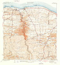
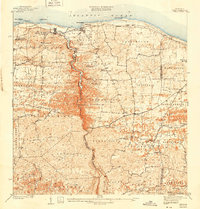
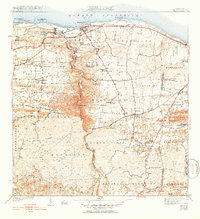
Other maps of this area

1938 · Camuy
USGS Topo · 1:20,000

1938 · San Sebastian
USGS Topo · 1:20,000

1938 · Quebradillas
USGS Topo · 1:20,000

1941 · San Sebastian
USGS Topo · 1:30,000

1942 · Arecibo
USGS Topo · 1:30,000

1942 · Camuy
USGS Topo · 1:30,000

1946 · Utuado
USGS Topo · 1:30,000

1946 · Bayaney
USGS Topo · 1:30,000

1946 · Arecibo
USGS Topo · 1:30,000
1947 · Arecibo SO
USGS Topo · 1:10,000