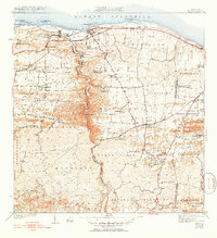
1942 Map of Camuy
USGS Topo · Published 1952About this map
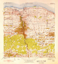
Rio Camuy carves a deep limestone canyon northward toward the Atlantic coast, serving as a prominent boundary between the municipal districts. The coastal settlements of Camuy and Hatillo are connected by the American R. R. of Porto Rico, which skirts the shoreline near prominent landmarks like Peñon Brusi and Pta Maracayo. Inland, the landscape is defined by a dense network of mountain roads such as Camino de Santiago and Camino Matojillo, leading to isolated communities like Alcantavilla and Pueblo Nuevo. This 1940s-era topography reveals a rural society centered on neighborhood parishes and agriculture, evidenced by Iglesia Santa Teresita and the numerous "Desvio" labels—likely rail sidings or bypasses—at Desvio Campo Alegre and Desvio Valencia. The mapping captures a specific moment before modern highway development, where traditional footpaths like Camino Lechuga still provided primary access to the interior hills.
Find a feature on this map
77 named features on this map. Tap any name to fly to it.
Don’t see what you’re looking for? This feature index may not catch every label — zoom into the map to look around manually.
Map Details
Editions of this 1942 Camuy Map
6 editions found
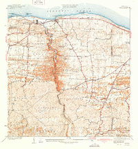
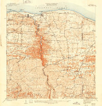
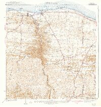
Other maps of this area

1938 · Camuy
USGS Topo · 1:20,000

1938 · San Sebastian
USGS Topo · 1:20,000

1938 · Quebradillas
USGS Topo · 1:20,000

1941 · San Sebastian
USGS Topo · 1:30,000

1942 · Arecibo
USGS Topo · 1:30,000

1942 · Camuy
USGS Topo · 1:30,000

1946 · Utuado
USGS Topo · 1:30,000

1946 · Bayaney
USGS Topo · 1:30,000

1946 · Arecibo
USGS Topo · 1:30,000
1947 · Arecibo SO
USGS Topo · 1:10,000