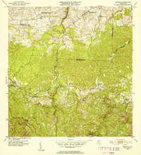
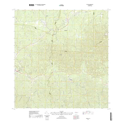
1957 Map of Bayaney
USGS Topo · Published 1960About this map
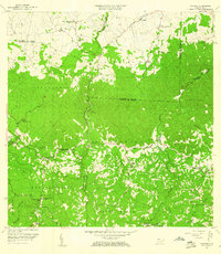
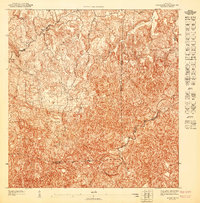
Deeply incised river valleys and dispersed agricultural settlements define this mid-century portrait of northwestern Puerto Rico. The rugged interior is carved by the Río Tanamá, Río Camuy, and Río Guajataca, creating a landscape of steep hills and hidden pockets where community life centered around local schools and churches. Evidence of rural development is seen in the numerous educational outposts, including the Escuela Segunda Unidad de Santiago Palmer and the Escuela Domingo Arana Márquez.
Find a feature on this map
60 named features on this map. Tap any name to fly to it.
Don’t see what you’re looking for? This feature index may not catch every label — zoom into the map to look around manually.
Map Details
Editions of this 1957 Bayaney Map
2 editions found
Historical Maps of Sector El Calvario Through Time
10 maps found

1946 Bayaney
Hatillo Municipio, PR
1947 Bayaney NE
Hatillo Municipio, PR
1950 Camuy NE
Hatillo Municipio, PR
1950 Camuy SE
Hatillo Municipio, PR
1952 Bayaney
Hatillo Municipio, PR
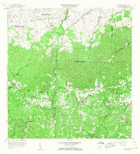
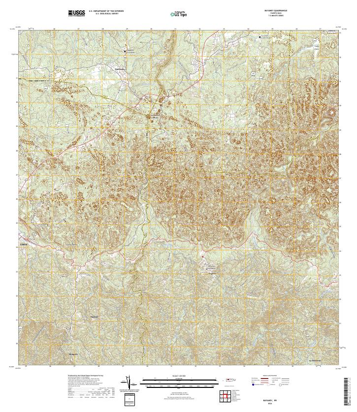
1957 Bayaney
Hatillo Municipio, PR
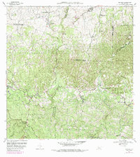
1970 Bayaney
Hatillo Municipio, PR
2013 Bayaney
Hatillo Municipio, PR
2018 Bayaney
Hatillo Municipio, PR
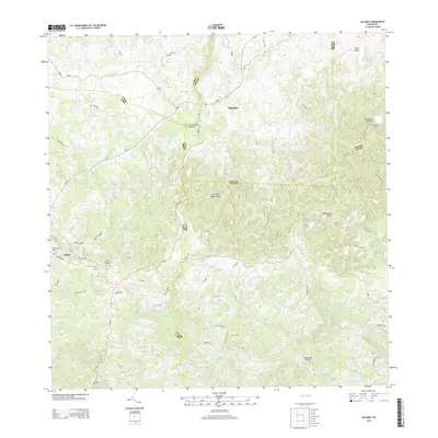
2024 Bayaney
Hatillo Municipio, PR
Featured Locations
- Sector Las Cuarenta, Hatillo
- Sector Los Santiagos, Lares
- Parcelas Miria, Lares
- Sector El Calvario, Utuado
- Sector Los Cuevas, Utuado