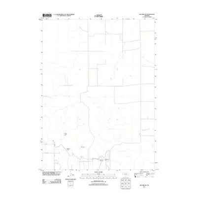
2011 Map of Bayard NE
USGS Topo · Published 2011About this map
The agrarian landscape of Scotts Bluff County is defined by its sophisticated water management systems, as seen in this 2011 survey. The Highline Canal cuts through the southern portion of the region, supported by a network of drainage and storage infrastructure including Wildhorse Dam, Wildhorse Dam 9-A, and Funk Dam. These features illustrate the vital role of irrigation in the High Plains, where natural watercourses like East Ninemile Creek and West Water Creek are supplemented by man-made channels to support local agriculture.
Find a feature on this map
10 named features on this map. Tap any name to fly to it.
Don’t see what you’re looking for? This feature index may not catch every label — zoom into the map to look around manually.
Map Details
Editions of this 2011 Bayard NE Map
This is the sole edition of this map. No revisions or reprints were ever made.
Other maps of this area

1898 · Camp Clarke
USGS Topo · 1:125,000

1948 · Hemingford 4 SW
USGS Topo · 1:24,000

1951 · Kilpatrick Lake
USGS Topo · 1:62,500

1954 · Scottsbluff
USGS Topo · 1:250,000

1955 · Alliance
USGS Topo · 1:250,000

1957 · Alliance
USGS Topo · 1:250,000

1958 · Alliance
USGS Topo · 1:250,000

1958 · Scottsbluff
USGS Topo · 1:250,000

1965 · Bayard
USGS Topo · 1:24,000
1965 · Bayard NE
USGS Topo · 1:24,000