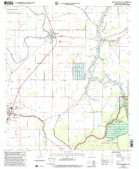
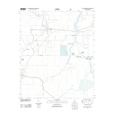
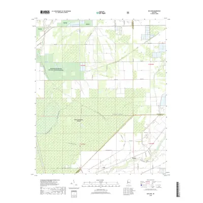
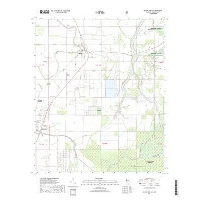
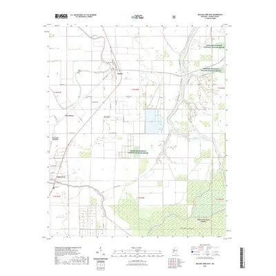
1988 Map of Bayland
USGS Topo · Published 1988About this map
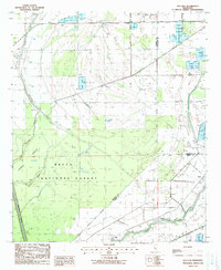
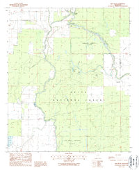
Delta National Forest dominates much of this landscape, characterized by a complex network of seasonal waterways and low-lying terrain within the Mississippi Delta. The small settlement of Bayland sits along the southern edge, where the forest gives way to the banks of Silver Creek. This 1988 survey, compiled from early 1980s aerial photography, reveals a region heavily managed for water control, featuring an extensive Greentree Reservoir and various levees designed to handle the frequent inundation of the bottomlands. The intricate drainage patterns are defined by meandering channels like Big Widow Bayou and Mc Conn Bayou, which carve through the dense woodlands. The map also captures the convergence of Sharkey, Humphreys, and Yazoo counties, illustrating the remote and specialized land use patterns typical of this environmentally sensitive portion of the state.
Find a feature on this map
14 named features on this map. Tap any name to fly to it.
Don’t see what you’re looking for? This feature index may not catch every label — zoom into the map to look around manually.
Map Details
Editions of this 1988 Bayland Map
This is the sole edition of this map. No revisions or reprints were ever made.
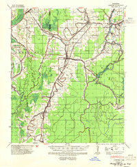
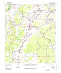
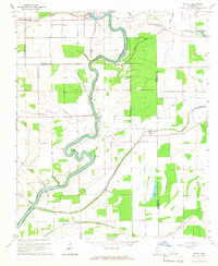
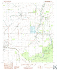
Historical Maps of Bayland Through Time
29 maps found
1939 Lorenzen
Sharkey County, MS
1964 Lorenzen
Sharkey County, MS
1965 Richey
Sharkey County, MS
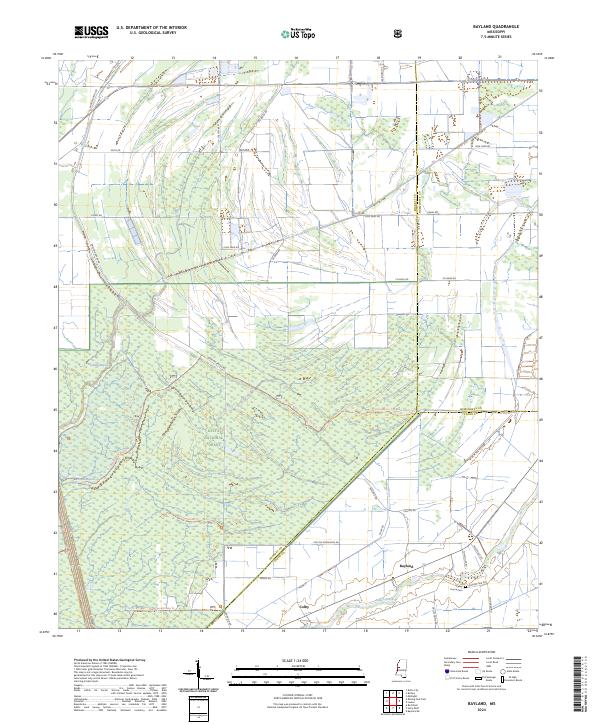
1988 Bayland
Sharkey County, MS
1988 Red Rock
Sharkey County, MS
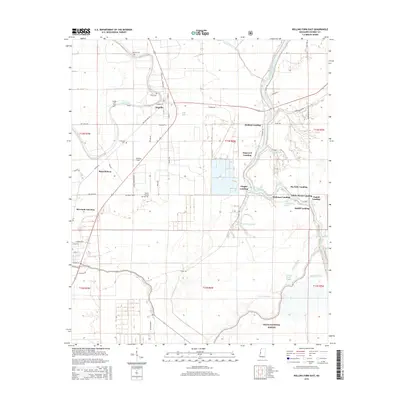
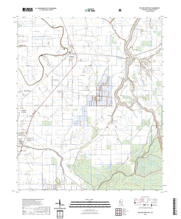
1988 Rolling Fork East
Sharkey County, MS
2000 Bayland
Sharkey County, MS
2000 Red Rock
Sharkey County, MS
2000 Rolling Fork East
Sharkey County, MS
2012 Bayland
Sharkey County, MS
2012 Red Rock
Sharkey County, MS
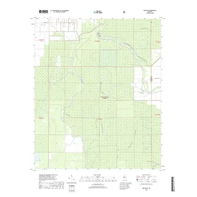
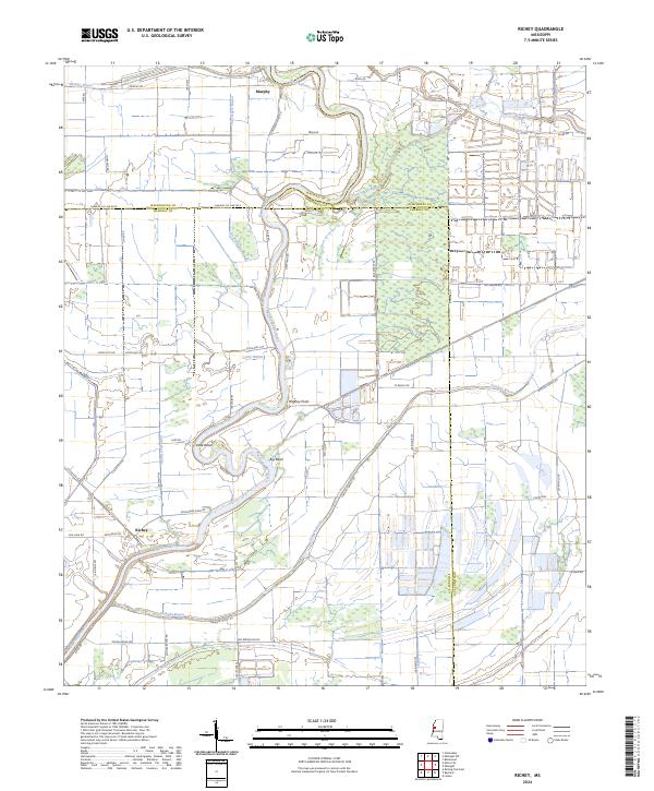
2012 Richey
Sharkey County, MS
2012 Rolling Fork East
Sharkey County, MS
2015 Bayland
Sharkey County, MS
2015 Red Rock
Sharkey County, MS
2015 Richey
Sharkey County, MS
2015 Rolling Fork East
Sharkey County, MS
2018 Bayland
Sharkey County, MS
2018 Red Rock
Sharkey County, MS
2018 Richey
Sharkey County, MS
2018 Rolling Fork East
Sharkey County, MS
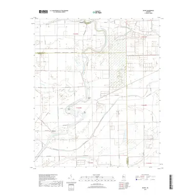
2020 Richey
Sharkey County, MS
2021 Bayland
Sharkey County, MS
2021 Red Rock
Sharkey County, MS
2021 Rolling Fork East
Sharkey County, MS
2024 Bayland
Sharkey County, MS

2024 Red Rock
Sharkey County, MS
2024 Richey
Sharkey County, MS
2024 Rolling Fork East
Sharkey County, MS