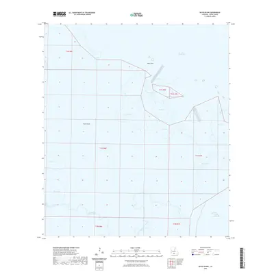
2020 Map of Bayou Blanc
USGS Topo · Published 2020About this map
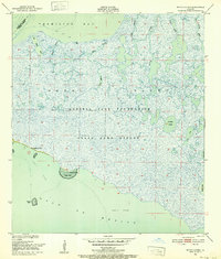
Marsh Island dominates this coastal landscape, showcasing an intricate network of wetlands and tidal waters in Iberia Parish. The southern reaches of the island are defined by significant hydrologic features like Oyster Lake and the branching pathways of West Branch Oyster Bayou and East Branch Oyster Bayou. These waterways suggest a dynamic environment where freshwater and saltwater meet, characteristic of Louisiana's fragile gulf coast.
Find a feature on this map
23 named features on this map. Tap any name to fly to it.
Don’t see what you’re looking for? This feature index may not catch every label — zoom into the map to look around manually.
Map Details
Editions of this 2020 Bayou Blanc Map
This is the sole edition of this map. No revisions or reprints were ever made.
Other maps of this area

1932 · Bayou Blanc
USGS Topo · 1:31,680

1937 · Bayou Sale
USGS Topo · 1:62,500

1945 · New Orleans
USGS Topo · 1:250,000
1948 · Bayou Blanc
USGS Topo · 1:24,000

1948 · Cypremort Point
USGS Topo · 1:24,000

1949 · Cypremort Pt
USGS Topo · 1:31,680

1949 · Bayou Lucien
USGS Topo · 1:31,680
1951 · Lake Point
USGS Topo · 1:24,000
1951 · Mound Point
USGS Topo · 1:24,000
1951 · Bayou Lucien
USGS Topo · 1:24,000