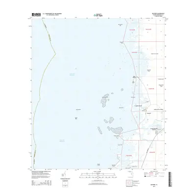
2015 Map of Bayport
USGS Topo · Published 2015About this map
The coastal salt marshes and spring-fed river systems of Hernando County define this area of the Gulf coast. The historic fishing village of Bayport serves as a central hub, situated near the mouth of the Mud River and its inland source at Mud River Spring. This landscape is characterized by a dense network of tidal islands and keys, including distinctive formations like Net Spread Key, Sawmill Island, and Wagon Wheel Island.
Find a feature on this map
48 named features on this map. Tap any name to fly to it.
Don’t see what you’re looking for? This feature index may not catch every label — zoom into the map to look around manually.
Map Details
Editions of this 2015 Bayport Map
This is the sole edition of this map. No revisions or reprints were ever made.
Other maps of this area

1954 · Chassahowitzka Bay
USGS Topo · 1:24,000

1954 · Aripeka
USGS Topo · 1:24,000

1954 · Chassahowitzka
USGS Topo · 1:24,000

1954 · Bayport
USGS Topo · 1:24,000

1954 · Weekiwachee Springs
USGS Topo · 1:24,000

1954 · Port Richey NE
USGS Topo · 1:24,000

1955 · Plant City
USGS Topo · 1:250,000

1958 · Plant City
USGS Topo · 1:250,000

1959 · Plant City
USGS Topo · 1:250,000

1964 · Plant City
USGS Topo · 1:250,000