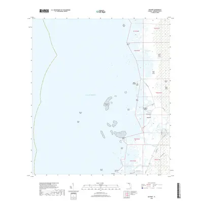
2018 Map of Bayport
USGS Topo · Published 2018About this map
Bayport and Cooglers Beach occupy a low-lying coastal threshold where the Florida springs meet the Gulf of Mexico. The landscape is dominated by a complex network of salt marshes and tidal creeks, including the Weeki Wachee River and Jenkins Creek, which weave through the expansive Weeki Wachee Swamp. This coastal environment is punctuated by numerous named keys and hammocks such as Lemon Grove Island, Eagle Nest Island, and Net Spread Key, reflecting the region's history as a haven for fishing and maritime navigation.
Find a feature on this map
51 named features on this map. Tap any name to fly to it.
Don’t see what you’re looking for? This feature index may not catch every label — zoom into the map to look around manually.
Map Details
Editions of this 2018 Bayport Map
This is the sole edition of this map. No revisions or reprints were ever made.
Other maps of this area

1954 · Chassahowitzka Bay
USGS Topo · 1:24,000

1954 · Aripeka
USGS Topo · 1:24,000

1954 · Chassahowitzka
USGS Topo · 1:24,000

1954 · Bayport
USGS Topo · 1:24,000

1954 · Weekiwachee Springs
USGS Topo · 1:24,000

1954 · Port Richey NE
USGS Topo · 1:24,000

1955 · Plant City
USGS Topo · 1:250,000

1958 · Plant City
USGS Topo · 1:250,000

1959 · Plant City
USGS Topo · 1:250,000

1964 · Plant City
USGS Topo · 1:250,000