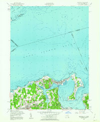
1954 Map of Bayville
USGS Topo · Published 1956About this map
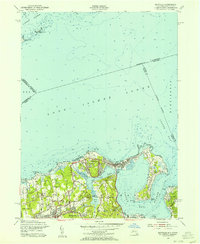
Long Island Sound and Oyster Bay define this mid-century coastal landscape, where the exclusive residential enclaves of Nassau County's North Shore met the maritime industry of the mid-1950s. The village of Bayville sits on its narrow peninsula, flanked by Oak Neck Creek and the sound, showing a dense pattern of summer cottages and year-round homes. To the south, the topography shifts into the wooded estates of Locust Valley and Mill Neck, where family legacy is preserved at the Pratt Cem and Underhill Cem. The map captures the specialized land use of the era, from the secluded Monastery near Lattingtown to the sprawling Mill Neck Manor. Further east, Centre Island and Cove Neck reach into the harbor, maintaining their status as private retreats while the public T Roosevelt Memorial Park anchors the waterfront near the Long Island Railroad terminus.
Find a feature on this map
57 named features on this map. Tap any name to fly to it.
Don’t see what you’re looking for? This feature index may not catch every label — zoom into the map to look around manually.
Map Details
Editions of this 1954 Bayville Map
2 editions found
Other maps of this area

1892 · Stamford
USGS Topo · 1:62,500

1892 · Norwalk
USGS Topo · 1:62,500

1893 · Stamford
USGS Topo · 1:62,500

1893 · Norwalk
USGS Topo · 1:62,500

1897 · Oyster Bay
USGS Topo · 1:62,500

1898 · Oyster Bay
USGS Topo · 1:62,500

1899 · Stamford
USGS Topo · 1:62,500

1900 · Oyster Bay
USGS Topo · 1:62,500

1901 · Northport
USGS Topo · 1:62,500

1903 · Northport
USGS Topo · 1:62,500