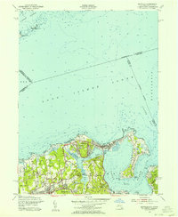
1954 Map of Bayville
USGS Topo · Published 1962About this map
Oak Neck and the surrounding Gold Coast shoreline define this mid-century portrait of northern Nassau County. The landscape is a network of large estates and established residential hamlets, where the Long Island Railroad cuts through Locust Valley and Matinecock. Local heritage is deeply etched into the terrain through family landmarks like Pratt Cem, Underhill Cem, and the imposing Mill Neck Manor.
Find a feature on this map
68 named features on this map. Tap any name to fly to it.
Don’t see what you’re looking for? This feature index may not catch every label — zoom into the map to look around manually.
Map Details
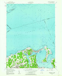
Editions of this 1954 Bayville Map
2 editions found
Other maps of this area

1892 · Stamford
USGS Topo · 1:62,500

1892 · Norwalk
USGS Topo · 1:62,500

1893 · Stamford
USGS Topo · 1:62,500

1893 · Norwalk
USGS Topo · 1:62,500

1897 · Oyster Bay
USGS Topo · 1:62,500

1898 · Oyster Bay
USGS Topo · 1:62,500

1899 · Stamford
USGS Topo · 1:62,500

1900 · Oyster Bay
USGS Topo · 1:62,500

1901 · Northport
USGS Topo · 1:62,500

1903 · Northport
USGS Topo · 1:62,500