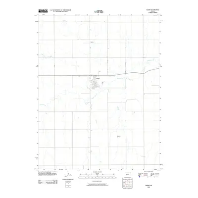
2009 Map of Bazine
USGS Topo · Published 2009About this map
Bazine sits at the confluence of several central Kansas waterways, where the meandering Walnut Creek and its tributary Bazine Dry Creek carve paths through the Ness County prairie. The town layout is clearly defined by a grid of numbered and lettered rural roads, including EE Rd and FF Rd, which facilitate transport across the agricultural landscape. To the north, the Bazine Cemetery serves as a vital anchor for genealogists and local historians, while the southern reaches of the quadrangle are marked by industrial activity at the Margheim Oil Field. This survey captures the town just before the end of the first decade of the 2000s, reflecting a landscape where legacy rural structures and resource extraction coexist within a strictly surveyed township system.
Find a feature on this map
12 named features on this map. Tap any name to fly to it.
Don’t see what you’re looking for? This feature index may not catch every label — zoom into the map to look around manually.
Map Details
Editions of this 2009 Bazine Map
This is the sole edition of this map. No revisions or reprints were ever made.
Other maps of this area

1892 · Ness
USGS Topo · 1:125,000

1893 · Ellis
USGS Topo · 1:125,000

1894 · Ness
USGS Topo · 1:125,000

1955 · Great Bend
USGS Topo · 1:250,000

1957 · Great Bend
USGS Topo · 1:250,000

1958 · Great Bend
USGS Topo · 1:250,000

1965 · Mc Cracken
USGS Topo · 1:24,000

1966 · Alexander
USGS Topo · 1:24,000

1966 · Ransom SE
USGS Topo · 1:24,000

1966 · Mc Cracken SW
USGS Topo · 1:24,000