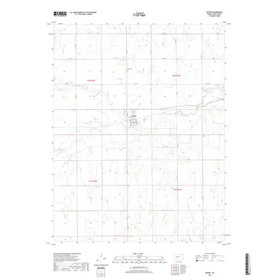
2018 Map of Bazine
USGS Topo · Published 2018About this map
Bazine sits as a central settlement in western Kansas, characterized by a grid of local thoroughfares including Austin St and A Ave. The landscape is defined by the drainage patterns of Walnut Creek and Bazine Dry Creek, which meander through the prairie terrain of Ness County. This 2018 survey reveals a rural infrastructure where section lines are strictly followed by roads such as N BB Rd and E 150 Rd. For those tracing local history or family roots, Bazine Cemetery provides a specific point of interest north of the main township. The town's layout, featuring streets like S Gilmore St and N Waumbaugh St, reflects a classic Great Plains agricultural community organized around its transport links and watercourses.
Find a feature on this map
26 named features on this map. Tap any name to fly to it.
Don’t see what you’re looking for? This feature index may not catch every label — zoom into the map to look around manually.
Map Details
Editions of this 2018 Bazine Map
This is the sole edition of this map. No revisions or reprints were ever made.
Other maps of this area

1892 · Ness
USGS Topo · 1:125,000

1893 · Ellis
USGS Topo · 1:125,000

1894 · Ness
USGS Topo · 1:125,000

1955 · Great Bend
USGS Topo · 1:250,000

1957 · Great Bend
USGS Topo · 1:250,000

1958 · Great Bend
USGS Topo · 1:250,000

1965 · Mc Cracken
USGS Topo · 1:24,000

1966 · Alexander
USGS Topo · 1:24,000

1966 · Ransom SE
USGS Topo · 1:24,000

1966 · Mc Cracken SW
USGS Topo · 1:24,000