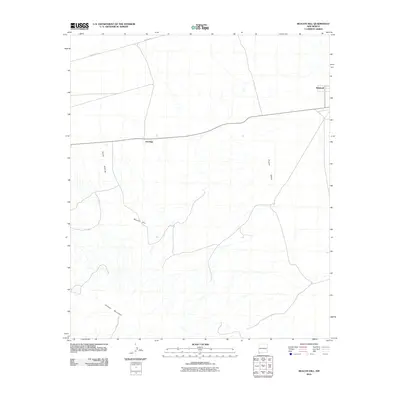
2010 Map of Beacon Hill
USGS Topo · Published 2010About this map
Animas Valley and Playas Valley dominate this landscape in Hidalgo County, where the desert floor is punctuated by the rising slopes of Animas Mountain and Beacon Hill. Settlement in this arid region remains sparse, centered around the named locations of Antelope and Windmill. These small outposts, likely serving the ranching or industrial needs of the area, are connected by a network of secondary roads and infrastructure, including County Rd C113, Co 41, and Pipeline Rd. The distribution of these features reflects the characteristic land use of the New Mexico borderlands, where vast distances are managed through isolated infrastructure and water access points in a terrain shaped by wide basins and volcanic ranges.
Find a feature on this map
9 named features on this map. Tap any name to fly to it.
Don’t see what you’re looking for? This feature index may not catch every label — zoom into the map to look around manually.
Map Details
Editions of this 2010 Beacon Hill Map
This is the sole edition of this map. No revisions or reprints were ever made.
Other maps of this area

1918 · Playas
USGS Topo · 1:62,500

1918 · Pratt
USGS Topo · 1:62,500

1919 · Pratt
USGS Topo · 1:62,500

1919 · Playas
USGS Topo · 1:62,500

1954 · Silver City
USGS Topo · 1:250,000

1955 · Douglas
USGS Topo · 1:250,000

1958 · Silver City
USGS Topo · 1:250,000

1959 · Douglas
USGS Topo · 1:250,000

1961 · Douglas
USGS Topo · 1:250,000

1962 · Silver City
USGS Topo · 1:250,000