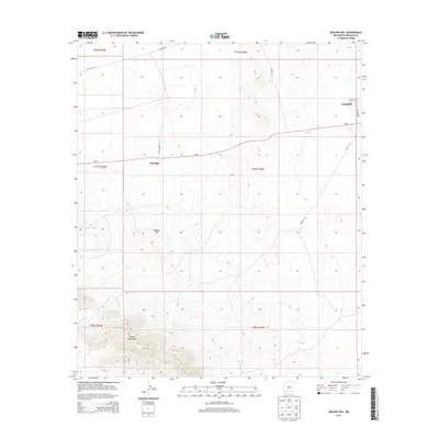
2013 Map of Beacon Hill
USGS Topo · Published 2013About this map
The Animas Mountains rise in the southwestern reaches of this Hidalgo County landscape, giving way to the high desert plains where the settlements of Antelope and Windmill are established. This 2013 survey illustrates a sparsely populated region defined by grazing and utility corridors, where Nm-9 serves as the primary east-west artery through the basin. Local access is provided by a network of named tracks such as Sock N Shoe Rd and Mineral Rd, reflecting the ranching and resource extraction history of the area. Notable elevation markers like Beacon Hill stand as prominent landmarks against the flatter terrain to the north. Researchers will find a precise record of the road network, from the residential clusters along Valley Dr and Windmill Rd to the industrial presence of Pipeline Rd crossing the northern townships.
Find a feature on this map
18 named features on this map. Tap any name to fly to it.
Don’t see what you’re looking for? This feature index may not catch every label — zoom into the map to look around manually.
Map Details
Editions of this 2013 Beacon Hill Map
This is the sole edition of this map. No revisions or reprints were ever made.
Other maps of this area

1918 · Playas
USGS Topo · 1:62,500

1918 · Pratt
USGS Topo · 1:62,500

1919 · Pratt
USGS Topo · 1:62,500

1919 · Playas
USGS Topo · 1:62,500

1954 · Silver City
USGS Topo · 1:250,000

1955 · Douglas
USGS Topo · 1:250,000

1958 · Silver City
USGS Topo · 1:250,000

1959 · Douglas
USGS Topo · 1:250,000

1961 · Douglas
USGS Topo · 1:250,000

1962 · Silver City
USGS Topo · 1:250,000