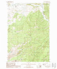
1988 Map of Beacon Point
USGS Topo · Published 1989About this map
Lee Metcalf Wilderness and Gallatin National Forest dominate this landscape, defined by high-elevation water bodies and the drainage systems of the Gallatin River. The terrain is shaped by the Spanish Peaks and prominent ridgelines such as Indian Ridge and Finnegan Ridge, creating a network of deep-cut canyons for waterways like Roaring Creek and Little Hell Roaring Creek. The presence of the Spanish Creek FS Station near the confluence of the North Fork Spanish Creek and South Fork Spanish Creek points to the administrative management of this backcountry during the late twentieth century. In the southern portion of the sheet, a cluster of alpine lakes including Arrow Lake, Grayling Lake, and Diamond Lake sit below the summit of Beacon Point, illustrating the high-mountain hydrology of the Madison and Gallatin county line.
Find a feature on this map
24 named features on this map. Tap any name to fly to it.
Don’t see what you’re looking for? This feature index may not catch every label — zoom into the map to look around manually.
Map Details
Editions of this 1988 Beacon Point Map
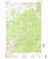
2 editions found
Other maps of this area

1888 · Three Forks
USGS Topo · 1:250,000

1894 · Three Forks
USGS Topo · 1:250,000

1895 · Three Forks
USGS Topo · 1:250,000

1947 · Bozeman
USGS Topo · 1:250,000

1948 · Bozeman
USGS Topo · 1:250,000

1949 · Anceney
USGS Topo · 1:62,500

1950 · Spanish Peaks
USGS Topo · 1:62,500

1953 · Bozeman
USGS Topo · 1:62,500

1955 · Bozeman
USGS Topo · 1:250,000

1955 · Garnet Mountain
USGS Topo · 1:62,500