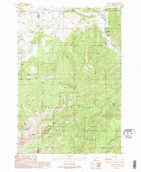
1988 Map of Beacon Point
USGS Topo · Published 1989About this map
Spanish Peaks define the high country of the Lee Metcalf Wilderness in this 1980s Montana survey. The landscape is characterized by a network of glaciated basins and drainage systems, including Newell Basin and the headwaters of Spanish Creek. Notable high-altitude water bodies such as Arrow Lake, Grayling Lake, and Diamond Lake are reached via a primary Pack Trail that winds through the protected forest land. At the lower elevations, the Gallatin River flows along the eastern boundary, marked by a Gaging Sta and the distinctive landmark of Sheep Rock. The Spanish Creek FS Station provides a human footprint on the northern edge of the wilderness, serving as a gateway to the steep ascents toward Beacon Point and the Madison County line. This record captures the backcountry geography as it was managed in the late 20th century, before the era of modern digital mapping.
Find a feature on this map
26 named features on this map. Tap any name to fly to it.
Don’t see what you’re looking for? This feature index may not catch every label — zoom into the map to look around manually.
Map Details
Editions of this 1988 Beacon Point Map
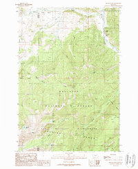
2 editions found
Other maps of this area

1888 · Three Forks
USGS Topo · 1:250,000

1894 · Three Forks
USGS Topo · 1:250,000

1895 · Three Forks
USGS Topo · 1:250,000

1947 · Bozeman
USGS Topo · 1:250,000

1948 · Bozeman
USGS Topo · 1:250,000

1949 · Anceney
USGS Topo · 1:62,500

1950 · Spanish Peaks
USGS Topo · 1:62,500

1953 · Bozeman
USGS Topo · 1:62,500

1955 · Bozeman
USGS Topo · 1:250,000

1955 · Garnet Mountain
USGS Topo · 1:62,500