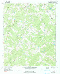
1971 Map of Beall Springs
USGS Topo · Published 1991About this map
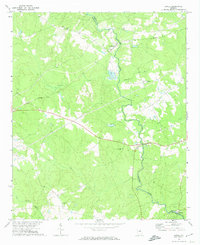
Beall Springs and its namesake Beall Springs Roadside Park serve as the focal point for this rural pocket of Middle Georgia. The landscape is defined by a dense network of watercourses, including the substantial Rocky Comfort Creek and its many tributaries like Joe's Creek and Acy Branch. This area, situated along the Warren Co / Glascock Co line, reflects a settlement pattern of dispersed rural churches that likely served as the social anchors for surrounding farms. Local genealogy and history are well-represented by several congregations, including New Salem Ch, Long Creek Ch, and Williams Grove Ch. Further south near the hamlet of Five Points, the landscape opens toward Mill Creek, where the Mill Creek Ch and several small family cemeteries are situated among the woods and small agricultural clearings.
Find a feature on this map
27 named features on this map. Tap any name to fly to it.
Don’t see what you’re looking for? This feature index may not catch every label — zoom into the map to look around manually.
Map Details
Editions of this 1971 Beall Springs Map
2 editions found
Other maps of this area

1953 · Athens
USGS Topo · 1:250,000

1958 · Athens
USGS Topo · 1:250,000

1959 · Athens
USGS Topo · 1:250,000

1960 · Warthen NE
USGS Topo · 1:24,000

1963 · Athens
USGS Topo · 1:250,000

1971 · Beall Springs
USGS Topo · 1:24,000
1972 · Bastonville
USGS Topo · 1:24,000
1972 · Thomson West
USGS Topo · 1:24,000
1972 · Gibson
USGS Topo · 1:24,000
1972 · Jewell
USGS Topo · 1:24,000