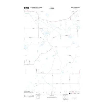
2013 Map of Bean Lake
USGS Topo · Published 2013About this map
The Namekagon River meanders across the northern portion of this landscape, its path mirrored by Scenic River Rd and the corridor of Us-63. This region of Sawyer County is defined by its dense concentration of glacial water bodies, from the namesake Bean Lake and Beaver Lake to the more secluded Devils Lake and King Lake. The drainage network is intricately connected by Bean Brook, which flows southward through the center of the sheet toward Godfrey Cr.
Find a feature on this map
67 named features on this map. Tap any name to fly to it.
Don’t see what you’re looking for? This feature index may not catch every label — zoom into the map to look around manually.
Map Details
Editions of this 2013 Bean Lake Map
This is the sole edition of this map. No revisions or reprints were ever made.
Other maps of this area

1944 · Couderay
USGS Topo · 1:48,000

1944 · Hayward
USGS Topo · 1:48,000

1947 · Chittamo
USGS Topo · 1:48,000

1948 · Couderay
USGS Topo · 1:48,000

1948 · Stone Lake
USGS Topo · 1:48,000

1949 · Chittamo
USGS Topo · 1:48,000

1950 · Stone Lake
USGS Topo · 1:48,000

1953 · Ashland
USGS Topo · 1:250,000

1953 · Rice Lake
USGS Topo · 1:250,000

1958 · Ashland
USGS Topo · 1:250,000