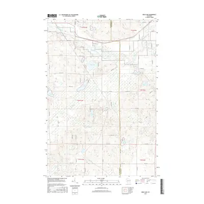
2015 Map of Bean Lake
USGS Topo · Published 2015About this map
The Namekagon River snakes through the northern reaches of this landscape, defining the transition between Washburn and Sawyer counties. This glacial terrain is densely packed with water bodies, from the central anchor of Bean Lake to the more secluded Devils Lake and King Lake. The mapping reveals a network of rural routes such as Co Rd E and Stone Lake Rd that navigate the varied topography of marshes and kettle lakes. These water features, including Tripp Lake and Colbroth Lake, are connected by a system of small drainages like Bean Brook and Godfrey Cr. The concentration of named lakes and creeks reflects the importance of the regional watershed and its role in the local geography during the early twenty-first century.
Find a feature on this map
67 named features on this map. Tap any name to fly to it.
Don’t see what you’re looking for? This feature index may not catch every label — zoom into the map to look around manually.
Map Details
Editions of this 2015 Bean Lake Map
This is the sole edition of this map. No revisions or reprints were ever made.
Other maps of this area

1944 · Couderay
USGS Topo · 1:48,000

1944 · Hayward
USGS Topo · 1:48,000

1947 · Chittamo
USGS Topo · 1:48,000

1948 · Couderay
USGS Topo · 1:48,000

1948 · Stone Lake
USGS Topo · 1:48,000

1949 · Chittamo
USGS Topo · 1:48,000

1950 · Stone Lake
USGS Topo · 1:48,000

1953 · Ashland
USGS Topo · 1:250,000

1953 · Rice Lake
USGS Topo · 1:250,000

1958 · Ashland
USGS Topo · 1:250,000