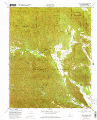
1949 Map of Bear Canyon
USGS Topo · Published 1975About this map
The Hunter Liggett Military Reservation dominates this 1949 landscape in Monterey County, illustrating the extensive overlap between federal military lands and the Los Padres National Forest. The topography is defined by the winding course of the San Antonio River and its various tributaries, including Milpitas Creek and Pinalito Creek. These waterways carve through a complex terrain of named canyons and gulches, such as Bear Canyon, China Gulch, and Wizard Gulch. Transport through this transitional zone is primarily facilitated by Del Venturi Road and a long-standing Telephone Line. The southern portion of the sheet features the San Miguelito area, showcasing a landscape largely preserved from major residential development due to its status as part of the military reservation and national forest system.
Find a feature on this map
20 named features on this map. Tap any name to fly to it.
Don’t see what you’re looking for? This feature index may not catch every label — zoom into the map to look around manually.
Map Details
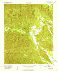
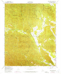
Editions of this 1949 Bear Canyon Map
4 editions found
Other maps of this area

1919 · King City
USGS Topo · 1:62,500

1919 · Junipero Serra
USGS Topo · 1:62,500

1919 · Bryson
USGS Topo · 1:62,500

1921 · Cape San Martin
USGS Topo · 1:62,500

1939 · King City
USGS Topo · 1:62,500

1941 · Cape San Martin
USGS Topo · 1:62,500

1941 · Junipero Serra
USGS Topo · 1:62,500

1941 · Bryson
USGS Topo · 1:62,500

1942 · Bryson
USGS Topo · 1:62,500

1942 · Cape San Martin
USGS Topo · 1:62,500