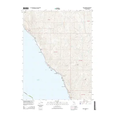
2015 Map of Bear Harbor
USGS Topo · Published 2015About this map
Chamisal Mtn dominates the northern skyline of this rugged coastal stretch where the Mattole River makes its way through the steep drainages of the Mendocino Co shoreline. This landscape is defined by its isolation, with the small settlements of Kenny and Wheeler marking the few human outposts in a territory carved by deep canyons like Whale Gulch and Duffys Gulch. The coast itself is a series of treacherous landmarks, from the appropriately named Point No Pass to the distinct offshore formations of Needle Rock, Double Rock, and Seal Rocks.
Find a feature on this map
39 named features on this map. Tap any name to fly to it.
Don’t see what you’re looking for? This feature index may not catch every label — zoom into the map to look around manually.
Map Details
Editions of this 2015 Bear Harbor Map
This is the sole edition of this map. No revisions or reprints were ever made.
Other maps of this area

1920 · Pt. Delagda
USGS Topo · 1:62,500

1921 · Briceland
USGS Topo · 1:62,500

1949 · Eureka
USGS Topo · 1:250,000

1949 · Point Delgada
USGS Topo · 1:62,500

1949 · Garberville
USGS Topo · 1:62,500

1950 · Piercy
USGS Topo · 1:62,500

1951 · Garberville
USGS Topo · 1:62,500

1951 · Point Delgada
USGS Topo · 1:62,500

1957 · Ukiah
USGS Topo · 1:250,000

1958 · Redding
USGS Topo · 1:250,000