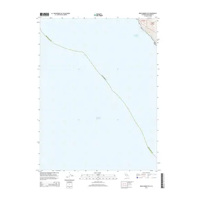
2015 Map of Bear Harbor OE W
USGS Topo · Published 2015About this map
The Pacific Ocean dominates this coastal mapping, representing the maritime expanse just off the Mendocino County shoreline. In the northeastern corner of the quadrangle, the terrain rises sharply where the land meets the sea, featuring the heights of Chamisal Mtn. This specific vantage point provides a look at the transition from deep water to the steep, narrow coastal shelf of Northern California. Near the surf line, the landmark Small White Rock serves as a distinct maritime feature for coastal navigation. The map also delineates land survey divisions, specifically t5s r1e 25 and t5s r2e 30, which are essential for property researchers and genealogists tracing land ownership along this remote stretch of the coast within Mendocino Co.
Find a feature on this map
7 named features on this map. Tap any name to fly to it.
Don’t see what you’re looking for? This feature index may not catch every label — zoom into the map to look around manually.
Map Details
Editions of this 2015 Bear Harbor OE W Map
This is the sole edition of this map. No revisions or reprints were ever made.
Other maps of this area

1920 · Pt. Delagda
USGS Topo · 1:62,500

1921 · Briceland
USGS Topo · 1:62,500

1949 · Eureka
USGS Topo · 1:250,000

1949 · Point Delgada
USGS Topo · 1:62,500

1949 · Garberville
USGS Topo · 1:62,500

1950 · Piercy
USGS Topo · 1:62,500

1951 · Garberville
USGS Topo · 1:62,500

1951 · Point Delgada
USGS Topo · 1:62,500

1957 · Ukiah
USGS Topo · 1:250,000

1958 · Redding
USGS Topo · 1:250,000