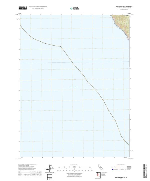
2021 Map of Bear Harbor OE W
USGS Topo · Published 2021About this map
The Pacific Ocean dominates this coastal survey, where the rugged edge of California meets the sea. In the extreme northeastern corner, the terrain rises sharply toward Chamisal Mtn, a prominent peak that anchors the coastline. This point of land, marked by the presence of Small White Rock just offshore, represents a primary intersection of maritime and terrestrial boundaries. The topographic lines trace steep elevations that define the region's character, illustrating the immediate transition from deep ocean to coastal highland. Surveyed by the U.S. Geological Survey, the map provides a precise record of the shoreline and elevation before reaching the interior wilderness.
Find a feature on this map
5 named features on this map. Tap any name to fly to it.
Don’t see what you’re looking for? This feature index may not catch every label — zoom into the map to look around manually.
Map Details
Editions of this 2021 Bear Harbor OE W Map
This is the sole edition of this map. No revisions or reprints were ever made.
Other maps of this area

1920 · Pt. Delagda
USGS Topo · 1:62,500

1921 · Briceland
USGS Topo · 1:62,500

1949 · Eureka
USGS Topo · 1:250,000

1949 · Point Delgada
USGS Topo · 1:62,500

1949 · Garberville
USGS Topo · 1:62,500

1950 · Piercy
USGS Topo · 1:62,500

1951 · Garberville
USGS Topo · 1:62,500

1951 · Point Delgada
USGS Topo · 1:62,500

1957 · Ukiah
USGS Topo · 1:250,000

1958 · Redding
USGS Topo · 1:250,000