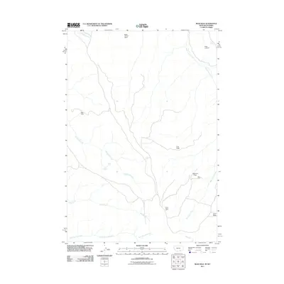
2011 Map of Bear Hole
USGS Topo · Published 2011About this map
Black Cabin sits along the southeastern slopes of Telephone Ridge, serving as a solitary human marker in this drainage-rich corner of the Bighorn Mountains. Surveyed in 2011, the landscape is defined by its complex network of seasonal and perennial water sources, including Indian Springs and Commissary Spring which feed into the Big Bull Elk Creek system. The terrain transitions from the high Black Canyon Basin in the north to the deeply incised valleys of Willow Creek and North Fork Trout Creek to the south.
Find a feature on this map
17 named features on this map. Tap any name to fly to it.
Don’t see what you’re looking for? This feature index may not catch every label — zoom into the map to look around manually.
Map Details
Editions of this 2011 Bear Hole Map
This is the sole edition of this map. No revisions or reprints were ever made.
Other maps of this area

1894 · St. Xavier
USGS Topo · 1:125,000

1898 · Bald Mountain
USGS Topo · 1:125,000

1901 · St. Xavier
USGS Topo · 1:125,000

1901 · Bald Mountain
USGS Topo · 1:125,000

1954 · Billings
USGS Topo · 1:250,000

1954 · Hardin
USGS Topo · 1:250,000

1955 · Cody
USGS Topo · 1:250,000

1955 · Sheridan
USGS Topo · 1:250,000

1957 · Hardin
USGS Topo · 1:250,000

1957 · Billings
USGS Topo · 1:250,000