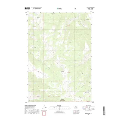
2020 Map of Bear Hole
USGS Topo · Published 2020About this map
Bighorn National Forest dominates this landscape along the border of Montana and Wyoming, where the high-elevation terrain is defined by complex drainage systems and named ridges. The map illustrates a high-country environment where water sources like Indian Springs, Eagle Spring, and Commissary Spring are critical markers across the dry upland expanses. Sharp elevation changes are visible through the deep cuts of Big Bull Elk Canyon and Black Canyon, which fall away from prominent high points such as Point Lookout and the namesake Bear Hole.
Find a feature on this map
31 named features on this map. Tap any name to fly to it.
Don’t see what you’re looking for? This feature index may not catch every label — zoom into the map to look around manually.
Map Details
Editions of this 2020 Bear Hole Map
This is the sole edition of this map. No revisions or reprints were ever made.
Other maps of this area

1894 · St. Xavier
USGS Topo · 1:125,000

1898 · Bald Mountain
USGS Topo · 1:125,000

1901 · St. Xavier
USGS Topo · 1:125,000

1901 · Bald Mountain
USGS Topo · 1:125,000

1954 · Billings
USGS Topo · 1:250,000

1954 · Hardin
USGS Topo · 1:250,000

1955 · Cody
USGS Topo · 1:250,000

1955 · Sheridan
USGS Topo · 1:250,000

1957 · Hardin
USGS Topo · 1:250,000

1957 · Billings
USGS Topo · 1:250,000