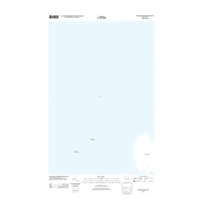
2013 Map of Bear Island
USGS Topo · Published 2013About this map
Bear Island dominates the southeastern quadrant of this maritime-focused survey, surrounded by the cold waters of Lake Superior. The chart highlights critical underwater hazards for navigation, specifically Bear Island Shoal and York Island Shoals, which mark the approach to this northern island chain. Unlike mainland quadrangles, this map primarily documents the bathymetric and topographic interface of the Apostle Islands area, capturing the physical extent of the island and its dangerous surrounding shallows as they appeared in the early 21st century.
Find a feature on this map
4 named features on this map. Tap any name to fly to it.
Don’t see what you’re looking for? This feature index may not catch every label — zoom into the map to look around manually.
Map Details
Editions of this 2013 Bear Island Map
This is the sole edition of this map. No revisions or reprints were ever made.
Other maps of this area

1941 · Bayfield
USGS Topo · 1:48,000

1946 · Bayfield
USGS Topo · 1:48,000

1953 · Ashland
USGS Topo · 1:250,000

1954 · Two Harbors
USGS Topo · 1:250,000

1957 · Two Harbors
USGS Topo · 1:250,000

1958 · Ashland
USGS Topo · 1:250,000

1958 · Two Harbors
USGS Topo · 1:250,000

1963 · Rocky Island
USGS Topo · 1:62,500

1963 · Oak Island
USGS Topo · 1:24,000
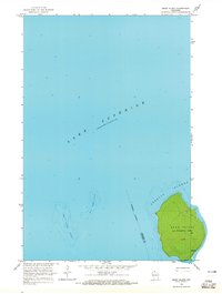
1963 · Bear Island
USGS Topo · 1:24,000