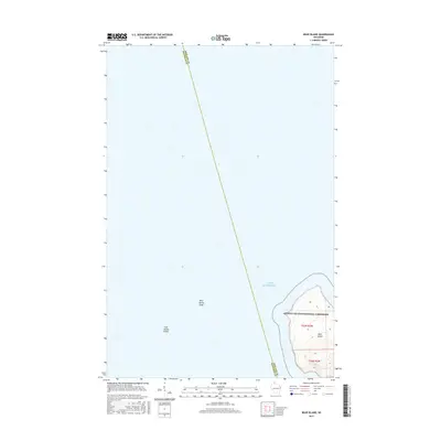
2015 Map of Bear Island
USGS Topo · Published 2015About this map
Apostle Islands National Lakeshore protects the central feature of this coastal survey, where the rugged topography of Bear Island rises from the cold depths of Lake Superior. The map illustrates the island's isolation within the archipelago, defined by the surrounding Bear Island Shoals and York Island Shoals that present significant hazards to navigation. A prominent boundary line for Bayfield Co and Ashland Co runs north to south through the open water, neatly bisecting the quadrangle. This 2015 edition provides a precise look at the shoreline and interior elevation of Bear Island, marked by the Public Land Survey System grids of t53n r3w and t52n r3w, offering a clear view of the island's natural state within the national park system.
Find a feature on this map
8 named features on this map. Tap any name to fly to it.
Don’t see what you’re looking for? This feature index may not catch every label — zoom into the map to look around manually.
Map Details
Editions of this 2015 Bear Island Map
This is the sole edition of this map. No revisions or reprints were ever made.
Other maps of this area

1941 · Bayfield
USGS Topo · 1:48,000

1946 · Bayfield
USGS Topo · 1:48,000

1953 · Ashland
USGS Topo · 1:250,000

1954 · Two Harbors
USGS Topo · 1:250,000

1957 · Two Harbors
USGS Topo · 1:250,000

1958 · Ashland
USGS Topo · 1:250,000

1958 · Two Harbors
USGS Topo · 1:250,000

1963 · Rocky Island
USGS Topo · 1:62,500

1963 · Oak Island
USGS Topo · 1:24,000
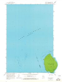
1963 · Bear Island
USGS Topo · 1:24,000