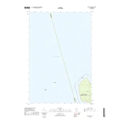
2018 Map of Bear Island
USGS Topo · Published 2018About this map
Apostle Islands National Lakeshore preserves the northern reaches of Wisconsin's archipelago in this 2018 survey. The map is centered on Bear Island, which dominates the southeast corner of the sheet with its topographic rises and shoreline. Surrounding the island, the deep waters of Lake Superior are marked by significant underwater hazards, including the Bear Island Shoal and York Island Shoals. A prominent county boundary line bisects the open water, demarcating the division between Bayfield and Ashland counties. This map provides a clear picture of the maritime geography and protected land management within the Apostle Islands at the time of the survey, focusing on the preservation of these isolated landmasses.
Find a feature on this map
7 named features on this map. Tap any name to fly to it.
Don’t see what you’re looking for? This feature index may not catch every label — zoom into the map to look around manually.
Map Details
Editions of this 2018 Bear Island Map
This is the sole edition of this map. No revisions or reprints were ever made.
Other maps of this area

1941 · Bayfield
USGS Topo · 1:48,000

1946 · Bayfield
USGS Topo · 1:48,000

1953 · Ashland
USGS Topo · 1:250,000

1954 · Two Harbors
USGS Topo · 1:250,000

1957 · Two Harbors
USGS Topo · 1:250,000

1958 · Ashland
USGS Topo · 1:250,000

1958 · Two Harbors
USGS Topo · 1:250,000

1963 · Rocky Island
USGS Topo · 1:62,500

1963 · Oak Island
USGS Topo · 1:24,000
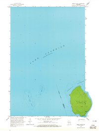
1963 · Bear Island
USGS Topo · 1:24,000