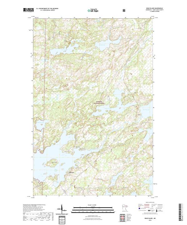
2022 Map of Bear Island
USGS Topo · Published 2022About this map
Superior National Forest encompasses this water-rich expanse of the Iron Range, where the settlement of Rothman sits near the southwestern shores of Bear Island Lake. The landscape is a complex network of glacial lakes and slow-moving water, featuring Mitchell Lake, Johnson Lake, and the winding Bear Island River. A notable industrial marker is found at Taconite, reflecting the regional mining legacy that shaped St. Louis County. In the south, the deep waters of Birch Lake and its North Bay provide a distinct contrast to the smaller, more isolated basins like Muckwa Lake and Whisper Lake. Local access is provided by several forest spurs and the Runn Road Association, which navigate the dense wetlands and ridges characteristic of this northern wilderness.
Find a feature on this map
39 named features on this map. Tap any name to fly to it.
Don’t see what you’re looking for? This feature index may not catch every label — zoom into the map to look around manually.
Map Details
Editions of this 2022 Bear Island Map
This is the sole edition of this map. No revisions or reprints were ever made.
Other maps of this area

1933 · Ely
USGS Topo · 1:62,500

1939 · Ely
USGS Topo · 1:62,500

1949 · Isaac Lake
USGS Topo · 1:24,000

1950 · Isaac Lake
USGS Topo · 1:24,000

1951 · Babbitt
USGS Topo · 1:24,000

1952 · Babbitt NE
USGS Topo · 1:24,000

1954 · Two Harbors
USGS Topo · 1:250,000

1954 · Hibbing
USGS Topo · 1:250,000

1956 · Crab Lake
USGS Topo · 1:24,000

1956 · Eagles Nest
USGS Topo · 1:24,000
Featured Places
- Birch Lake (Unorganized Territory), MN
- Morse Township, MN
- Rothman, MN
- Saint Louis County, MN
- United States