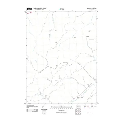
2010 Map of Bear Knob
USGS Topo · Published 2010About this map
Bald Eagle Creek defines the southern edge of this landscape, where the settlement of Unionville sits at the foot of the ridge. This area in Centre County is characterized by a transition from the level valley floor to the prominent high points of the Allegheny Front, including Bear Knob and Ganderstep Knob. The map reveals a network of old thoroughfares and modern aviation sites, such as the Ridge Soaring Airport and Eagle Ridge Gliderport, which take advantage of the region's ridge-and-valley wind patterns.
Find a feature on this map
49 named features on this map. Tap any name to fly to it.
Don’t see what you’re looking for? This feature index may not catch every label — zoom into the map to look around manually.
Map Details
Editions of this 2010 Bear Knob Map
This is the sole edition of this map. No revisions or reprints were ever made.
Other maps of this area

1908 · Bellefonte
USGS Topo · 1:62,500

1909 · Bellefonte
USGS Topo · 1:62,500

1922 · Philipsburg
USGS Topo · 1:62,500

1928 · Snow Shoe
USGS Topo · 1:48,000

1929 · Karthaus
USGS Topo · 1:62,500

1931 · Show Shoe
USGS Topo · 1:62,500

1932 · Karthaus
USGS Topo · 1:62,500

1939 · Philipsburg
USGS Topo · 1:62,500

1943 · Lewistown
USGS Topo · 1:125,000

1945 · Philipsburg
USGS Topo · 1:62,500