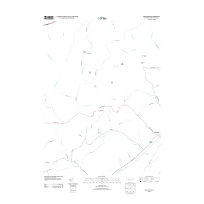
2013 Map of Bear Knob
USGS Topo · Published 2013About this map
Unionville sits at the southeastern edge of this landscape, where the valley floor meets the waters of Foster Joseph Sayers Lake. The terrain is defined by a series of parallel ridges and deep hollows, notably Brushy Hollow and Foxy Hollow, which drop away from high points like Bear Knob and Ganderstep Knob. The hydrology of the region is intricate, with numerous named streams such as Stinktown Run, Wallace Run, and Dicks Run carving through the gaps and feeding into the larger Bald Eagle Cr drainage system.
Find a feature on this map
51 named features on this map. Tap any name to fly to it.
Don’t see what you’re looking for? This feature index may not catch every label — zoom into the map to look around manually.
Map Details
Editions of this 2013 Bear Knob Map
This is the sole edition of this map. No revisions or reprints were ever made.
Other maps of this area

1908 · Bellefonte
USGS Topo · 1:62,500

1909 · Bellefonte
USGS Topo · 1:62,500

1922 · Philipsburg
USGS Topo · 1:62,500

1928 · Snow Shoe
USGS Topo · 1:48,000

1929 · Karthaus
USGS Topo · 1:62,500

1931 · Show Shoe
USGS Topo · 1:62,500

1932 · Karthaus
USGS Topo · 1:62,500

1939 · Philipsburg
USGS Topo · 1:62,500

1943 · Lewistown
USGS Topo · 1:125,000

1945 · Philipsburg
USGS Topo · 1:62,500