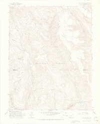
1964 Map of Bear Mountain
USGS Topo · Published 1967About this map
San Juan National Forest terrain dominates this mid-century survey, which reveals a complex drainage network at the boundary of Hinsdale and Archuleta counties. High peaks like Bear Mountain overlook remote interior reaches such as Bear Park and Lone Tree Park, illustrating the high-altitude wilderness before the expansion of more modern access. The map details a landscape defined by water and narrow corridors, including the Piedra River and the steep walls of Second Box Canyon.
Find a feature on this map
23 named features on this map. Tap any name to fly to it.
Don’t see what you’re looking for? This feature index may not catch every label — zoom into the map to look around manually.
Map Details
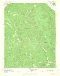
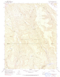
Editions of this 1964 Bear Mountain Map
3 editions found
Other maps of this area

1905 · San Cristobal
USGS Topo · 1:125,000

1907 · San Cristobal
USGS Topo · 1:125,000

1924 · Pagosa Springs
USGS Topo · 1:125,000

1927 · Pagosa Springs
USGS Topo · 1:125,000

1945 · Durango
USGS Topo · 1:250,000

1953 · Durango
USGS Topo · 1:250,000

1954 · Durango
USGS Topo · 1:250,000

1961 · Durango
USGS Topo · 1:250,000

1963 · Durango
USGS Topo · 1:250,000
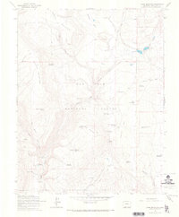
1964 · Chris Mountain
USGS Topo · 1:24,000