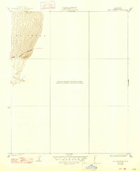
1933 Map of Bear Mountain
USGS Topo · Published 1947About this map
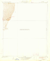
Bear Mountain Boulevard winds through the northwestern corner of this quadrangle, tracing the base of the uplift where the valley floor meets the heights of E L Tejon. The topography here is characterized by dramatic elevation changes, where the land rises sharply toward the peak that gives this area its name. The drainage of Sycamore Canyon cuts into the southern portion of the surveyed terrain, illustrating the natural watercourses that define the local geography. Surveyed in 1930 by F. H. Purdy, this sheet documents the early infrastructure of the Tejon Ranch area before extensive modern development. The concentration of contours in the western half of the map provides a clear picture of the land's transition from flat basin to steep mountain slopes, which historically influenced the routing of transit and land use in southern Kern County.
Find a feature on this map
4 named features on this map. Tap any name to fly to it.
Don’t see what you’re looking for? This feature index may not catch every label — zoom into the map to look around manually.
Map Details
Editions of this 1933 Bear Mountain Map
3 editions found
Other maps of this area

1914 · Caliente
USGS Topo · 1:125,000

1929 · Bena
USGS Topo · 1:31,680

1930 · Bear Mountain
USGS Topo · 1:31,680

1930 · Arvin
USGS Topo · 1:31,680

1931 · Edison
USGS Topo · 1:31,680

1931 · Tejon Hills
USGS Topo · 1:31,680

1932 · Bena
USGS Topo · 1:31,680

1933 · Arvin
USGS Topo · 1:31,680

1933 · Tejon Hills
USGS Topo · 1:31,680

1933 · Bear Mountain
USGS Topo · 1:31,680