
1933 Map of Bear Mountain
USGS Topo · Published 1933About this map
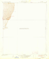
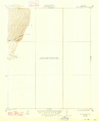
Governor James Rolph, Jr. and the State of California cooperated with federal surveyors to produce this detailed study of the southwestern Kern County highlands. The terrain is dominated by the steep slopes of El Tejon, where the map meticulously records the winding ascent of Bear Mountain Boulevard. This roadway serves as a critical link in the region's early automotive infrastructure, connecting travelers moving between Bakersfield, Arvin, and Tehachapi. The drainage of Sycamore Canyon cuts deeply into the southern portion of the range, illustrating the complex topography that dictated the placement of early mountain routes. Because this specific 1933 edition focuses on a narrow corridor of development, much of the sheet remains open, highlighting the relative isolation of these ridges before mid-century expansion.
Find a feature on this map
6 named features on this map. Tap any name to fly to it.
Don’t see what you’re looking for? This feature index may not catch every label — zoom into the map to look around manually.
Map Details
Editions of this 1933 Bear Mountain Map
3 editions found
Other maps of this area

1914 · Caliente
USGS Topo · 1:125,000

1929 · Bena
USGS Topo · 1:31,680

1930 · Bear Mountain
USGS Topo · 1:31,680

1930 · Arvin
USGS Topo · 1:31,680

1931 · Edison
USGS Topo · 1:31,680

1931 · Tejon Hills
USGS Topo · 1:31,680

1932 · Bena
USGS Topo · 1:31,680

1933 · Arvin
USGS Topo · 1:31,680

1933 · Tejon Hills
USGS Topo · 1:31,680

1943 · Cummings Mountain
USGS Topo · 1:62,500