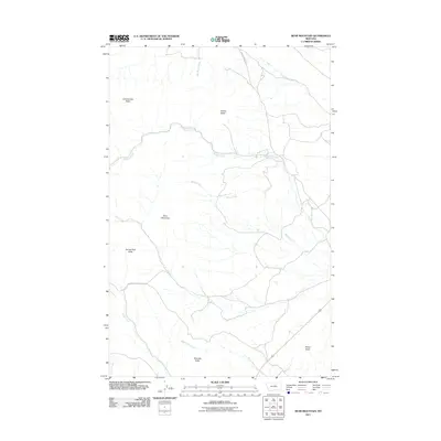
2011 Map of Bear Mountain
USGS Topo · Published 2011About this map
Bear Mountain and a series of prominent buttes define this section of the Montana landscape near the Lodge Pole District. The terrain is deeply etched by a complex drainage network, where Beaver Creek and Baker Creek flow through the central portion of the map. The human footprint is sparse, primarily marked by the Beaver Creek Hwy which snakes across the northern reaches, following the natural contours of the land.
Find a feature on this map
14 named features on this map. Tap any name to fly to it.
Don’t see what you’re looking for? This feature index may not catch every label — zoom into the map to look around manually.
Map Details
Editions of this 2011 Bear Mountain Map
This is the sole edition of this map. No revisions or reprints were ever made.
Other maps of this area

1943 · Landusky
USGS Topo · 1:125,000

1953 · Havre
USGS Topo · 1:250,000

1954 · Lewistown
USGS Topo · 1:250,000

1957 · Havre
USGS Topo · 1:250,000

1958 · Havre
USGS Topo · 1:250,000

1959 · Lewistown
USGS Topo · 1:250,000

1971 · Bear Mountain
USGS Topo · 1:24,000

1971 · Robinson School
USGS Topo · 1:24,000

1971 · Hays SE
USGS Topo · 1:24,000

1971 · Bison Bone Reservoir
USGS Topo · 1:24,000