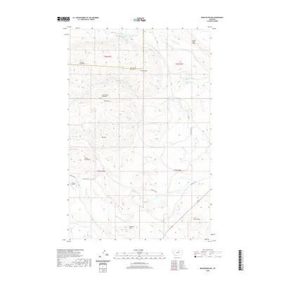
2020 Map of Bear Mountain
USGS Topo · Published 2020About this map
The Little Rocky Mountains define this landscape along the border of Blaine and Phillips Counties. Notable high points like Bear Mtn and Coming Day Butte provide significant topographic relief, while water sources such as Big Warm Cr and Little Warm Cr drain the higher elevations. The presence of named springs, including 26N25E24BCDB01 Spring, indicates the critical importance of water management in this arid region. Transportation is facilitated by a network of rural routes, including Camp Creek Rd and Bear Gulch Rd, which navigate the complex terrain. The inclusion of the Zortman Airport in the southwest corner suggests the intersection of remote mountain geography with modern aviation infrastructure, serving as a gateway to the surrounding wilderness and the Judith River Ridge to the east.
Find a feature on this map
32 named features on this map. Tap any name to fly to it.
Don’t see what you’re looking for? This feature index may not catch every label — zoom into the map to look around manually.
Map Details
Editions of this 2020 Bear Mountain Map
This is the sole edition of this map. No revisions or reprints were ever made.
Other maps of this area

1943 · Landusky
USGS Topo · 1:125,000

1953 · Havre
USGS Topo · 1:250,000

1954 · Lewistown
USGS Topo · 1:250,000

1957 · Havre
USGS Topo · 1:250,000

1958 · Havre
USGS Topo · 1:250,000

1959 · Lewistown
USGS Topo · 1:250,000

1971 · Bear Mountain
USGS Topo · 1:24,000

1971 · Robinson School
USGS Topo · 1:24,000

1971 · Hays SE
USGS Topo · 1:24,000

1971 · Bison Bone Reservoir
USGS Topo · 1:24,000