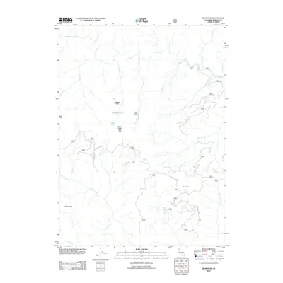
2012 Map of Bear Peak
USGS Topo · Published 2012About this map
Bear Peak and the Kelsey Range define the high elevations of this 2012 survey in Siskiyou County. The landscape is a complex network of drainages and seasonal waters, from the prominent Clear Cr and its S Fork Clear Cr to more isolated features like Dry Lake and Elbow Spring. The map documents a topography dominated by steep transitions, such as the descent from Dillon Divide toward the N Fork Dillon Cr.
Find a feature on this map
43 named features on this map. Tap any name to fly to it.
Don’t see what you’re looking for? This feature index may not catch every label — zoom into the map to look around manually.
Map Details
Editions of this 2012 Bear Peak Map
This is the sole edition of this map. No revisions or reprints were ever made.
Other maps of this area

1914 · Seiad
USGS Topo · 1:125,000

1922 · Preston Peak
USGS Topo · 1:125,000

1922 · Seiad
USGS Topo · 1:125,000

1948 · Weed
USGS Topo · 1:250,000

1950 · Weed
USGS Topo · 1:250,000

1955 · Dillon Mtn
USGS Topo · 1:62,500

1955 · Ukonom Lake
USGS Topo · 1:62,500

1956 · Happy Camp
USGS Topo · 1:62,500

1956 · Preston Peak
USGS Topo · 1:62,500

1958 · Weed
USGS Topo · 1:250,000