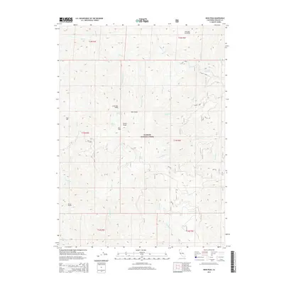
2015 Map of Bear Peak
USGS Topo · Published 2015About this map
Klamath National Forest dominates this section of the Siskiyou Mountains, where high-elevation landmarks like Bear Peak and the Kelsey Range define the local topography. This 2015 update of the 1:24,000 scale survey illustrates a landscape shaped by water and high ridges, including the Five-and-Ten Divide and Dillon Divide. Small alpine bodies of water, including Bear Lake, Lower Bear Lake, and the seasonal Dry Lake, are scattered among the steep drainages of S Fork Clear Cr and Vann Creek.
Find a feature on this map
45 named features on this map. Tap any name to fly to it.
Don’t see what you’re looking for? This feature index may not catch every label — zoom into the map to look around manually.
Map Details
Editions of this 2015 Bear Peak Map
This is the sole edition of this map. No revisions or reprints were ever made.
Other maps of this area

1914 · Seiad
USGS Topo · 1:125,000

1922 · Preston Peak
USGS Topo · 1:125,000

1922 · Seiad
USGS Topo · 1:125,000

1948 · Weed
USGS Topo · 1:250,000

1950 · Weed
USGS Topo · 1:250,000

1955 · Dillon Mtn
USGS Topo · 1:62,500

1955 · Ukonom Lake
USGS Topo · 1:62,500

1956 · Happy Camp
USGS Topo · 1:62,500

1956 · Preston Peak
USGS Topo · 1:62,500

1958 · Weed
USGS Topo · 1:250,000