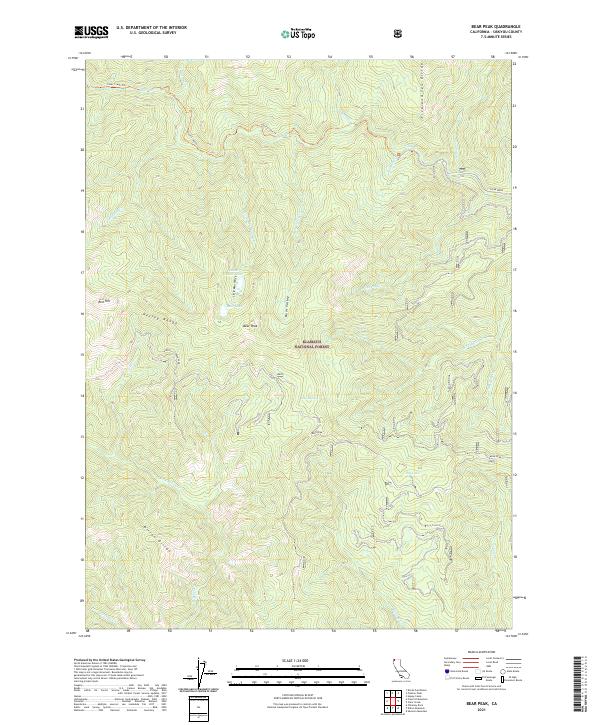
2021 Map of Bear Peak
USGS Topo · Published 2021About this map
Klamath National Forest dominates this section of the Siskiyou Mountains, where the drainage networks of Clear Creek and the North Fork Dillon Creek converge near several high-elevation ridges. The topography is defined by significant landmarks like Bear Peak, which stands as a prominent focal point between the Kelsey Range and the Dillon Divide. High-country water features such as Lower Bear Lake and Bear Lake are tucked into the drainages of Little Bear Valley Creek, while the seasonal Dry Lake sits further east. For those tracing the historic routes through these mountains, the Clear Creek Trail provides the primary path through the north, crossing the Five and Ten Divide. The map detail shows a remote wilderness landscape managed for timber and conservation, centered on the complex watersheds of South Fork Clear Creek and its many tributaries.
Find a feature on this map
36 named features on this map. Tap any name to fly to it.
Don’t see what you’re looking for? This feature index may not catch every label — zoom into the map to look around manually.
Map Details
Editions of this 2021 Bear Peak Map
This is the sole edition of this map. No revisions or reprints were ever made.
Other maps of this area

1914 · Seiad
USGS Topo · 1:125,000

1922 · Preston Peak
USGS Topo · 1:125,000

1922 · Seiad
USGS Topo · 1:125,000

1948 · Weed
USGS Topo · 1:250,000

1950 · Weed
USGS Topo · 1:250,000

1955 · Dillon Mtn
USGS Topo · 1:62,500

1955 · Ukonom Lake
USGS Topo · 1:62,500

1956 · Happy Camp
USGS Topo · 1:62,500

1956 · Preston Peak
USGS Topo · 1:62,500

1958 · Weed
USGS Topo · 1:250,000