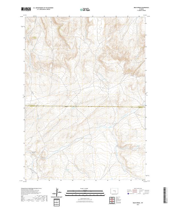
2021 Map of Bear Spring
USGS Topo · Published 2021About this map
Bear Spring and several other groundwater sources define this portion of the Wyoming landscape, where the Natrona Co Carbon Co line divides the survey. This high-altitude drainage network is dominated by a series of intermittent watercourses including Bear Spring Cr, N Fork Canyon Cr, and S Fork Canyon Cr, which feed into the central Anda Reservoir. The area is characterized by these critical watering points, such as Josendal Springs, Rattlesnake Springs, and McCune Springs, which historically supported ranching operations across the varied terrain.
Find a feature on this map
24 named features on this map. Tap any name to fly to it.
Don’t see what you’re looking for? This feature index may not catch every label — zoom into the map to look around manually.
Map Details
Editions of this 2021 Bear Spring Map
This is the sole edition of this map. No revisions or reprints were ever made.
Other maps of this area

1950 · Alcova SE
USGS Topo · 1:24,000

1950 · Alcova
USGS Topo · 1:24,000

1951 · Benton Basin
USGS Topo · 1:24,000

1951 · Bear Mountain
USGS Topo · 1:24,000

1951 · Bear Spring
USGS Topo · 1:24,000

1951 · Pathfinder Dam
USGS Topo · 1:24,000

1953 · Leo
USGS Topo · 1:24,000

1953 · Fourmile Point
USGS Topo · 1:24,000

1953 · Fourmile Ridge
USGS Topo · 1:24,000

1955 · Casper
USGS Topo · 1:250,000